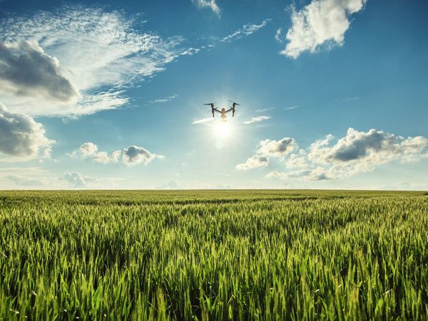
Agricultural Imaging and Monitoring

Welcome to Northern Colorado SkyShots!
Your trusted partner for cutting-edge agricultural imaging and monitoring services. In today’s fast-paced agricultural industry, having access to accurate data and insights is essential for optimizing crop health, managing resources, and boosting yields. Our state-of-the-art drone technology delivers detailed aerial imagery and real-time data to empower farmers and agricultural businesses, enhancing operations like never before!
Why Choose Our Agricultural Services?
At Northern Colorado SkyShots, we understand the unique challenges and opportunities in the agricultural sector. Our drone services provide precise and timely information, helping you make informed decisions, manage your fields more efficiently, and maximize productivity. From crop monitoring to field mapping, our aerial imaging solutions are tailored to support the diverse needs of modern agriculture, ensuring you stay ahead of the curve.

Our Agricultural Services
- Field Mapping: Create accurate and informative field maps with our advanced drone technology. These maps provide invaluable insights into soil conditions, irrigation needs, and crop variability, empowering you to manage your resources more effectively.
- Plant Counting and Yield Estimation: Achieve precise plant counts and yield estimations with our aerial imaging solutions. This data helps you plan harvests, manage inventory, and make informed decisions about future planting, maximizing your productivity.
- Livestock Monitoring: Keep a watchful eye on your livestock with regular aerial surveillance. Our drones provide a comprehensive view of grazing patterns, animal health, and security, ensuring the well-being of your animals and peace of mind.
- Irrigation Management: Optimize your irrigation systems with precise data on soil moisture levels and crop water needs. Our aerial imagery helps you pinpoint areas that require more or less water, improving efficiency and reducing waste.
- Customized Packages: We offer tailored imaging and monitoring packages designed to meet the unique needs of your agricultural operations. Whether you require regular monitoring or one-time assessments, we customize our services to fit your requirements and budget, ensuring you get the support you need!

Benefits of Our Drone Services
- Accurate Data: Access precise and actionable data that empowers you to make informed agricultural decisions and optimize your operations.
- Early Issue Detection: Stay ahead of potential problems by identifying and addressing issues early on, significantly reducing the risk of crop loss and maximizing your yield.
- Resource Efficiency: Enhance resource management with detailed field maps and irrigation data, allowing you to allocate resources more effectively and sustainably.
- Comprehensive Monitoring: Keep a vigilant eye on crop health, livestock, and field conditions with regular aerial surveillance, ensuring everything runs smoothly and efficiently.
- Advanced Insights: Harness cutting-edge imaging technologies for deeper insights into plant health and soil conditions, giving you the information you need to implement effective management practices.

How It Works
- Consultation: We kick things off with a consultation to dive into your agricultural needs and goals. Together, we’ll discuss the specific services required and any unique challenges you may be facing.
- Planning: Our team collaborates with you to strategize the drone flights, taking into account factors like crop type, field size, and monitoring frequency to ensure we meet your objectives.
- Drone Flights: Our FAA licensed drone pilots take to the skies, capturing stunning high-resolution images and data of your fields and livestock, providing a unique perspective on your operations.
- Data Analysis: After the flights, our expert team analyzes the data and imagery, delivering detailed reports filled with actionable insights to help you make informed decisions.
- Delivery: We promptly deliver the final reports and imagery through secure online storage, ensuring you have easy access to all the information you need to optimize your agricultural practices and boost productivity!
Learn More About Our Pricing
Contact Us
Ready to take your agricultural operations to the next level with precision aerial imaging? Contact Northern Colorado SkyShots today to schedule a consultation. Let us help you monitor crops, manage livestock, and optimize your farm with insightful visuals and data.
Northern Colorado SkyShots
This website uses cookies.
We use cookies to analyze website traffic and optimize your website experience. By accepting our use of cookies, your data will be aggregated with all other user data.